 Photo: Diliff (CC BY-SA 3.0)
Find a real waterfall worth the drive.
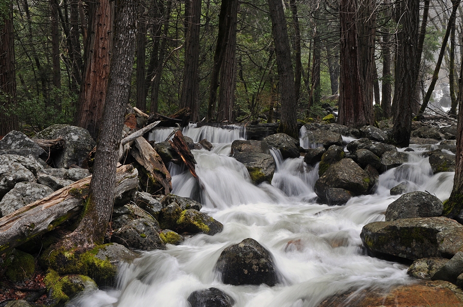
293 named U.S. waterfalls across 46 states — with documented heights, real maps and photos, access notes, and the best season to see each. Built from USGS place-name data and federal land-manager records, not guesswork.
Latest guides
All guides →
The Best Waterfalls in Oregon
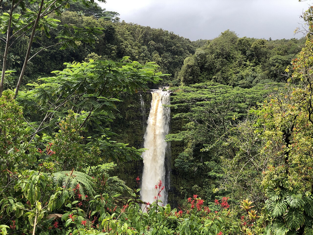
The Best Waterfalls in Hawaii
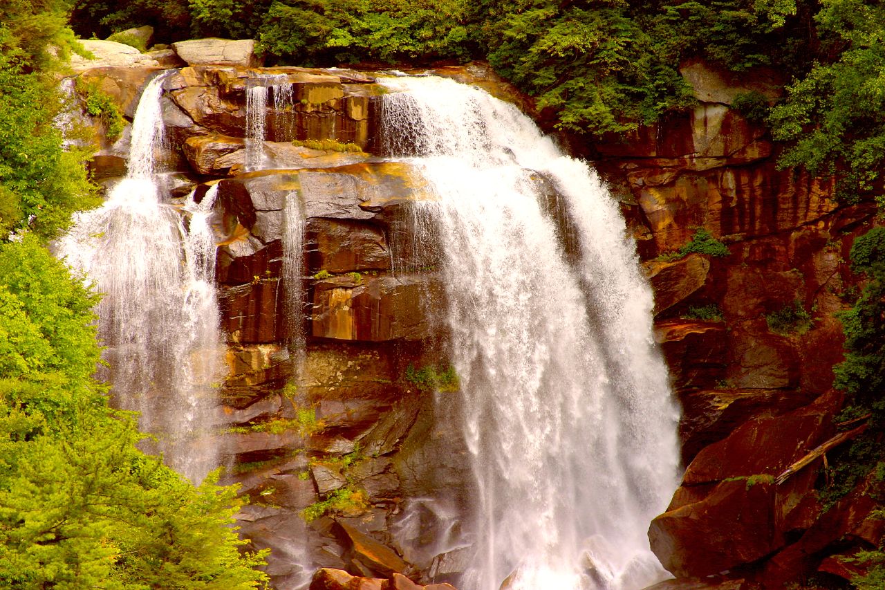
The Best Waterfalls in North Carolina
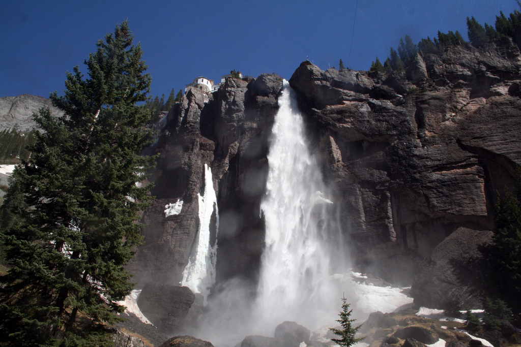
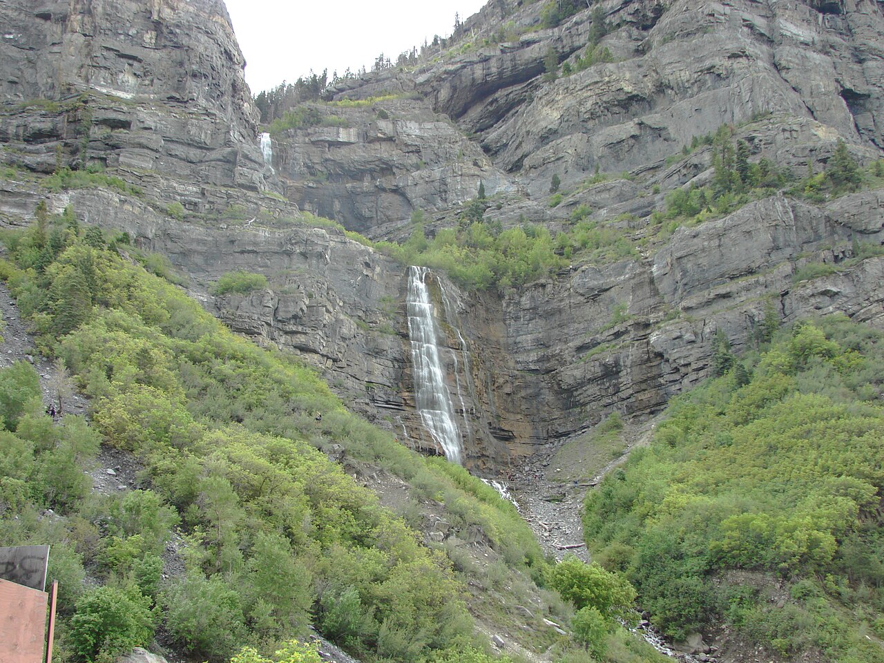
The Best Waterfalls in Colorado
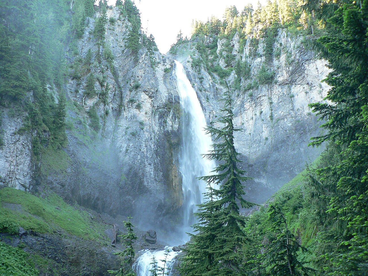
The Best Waterfalls in Washington
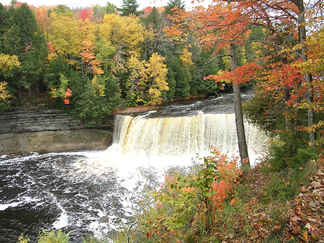
The Best Waterfalls in Michigan
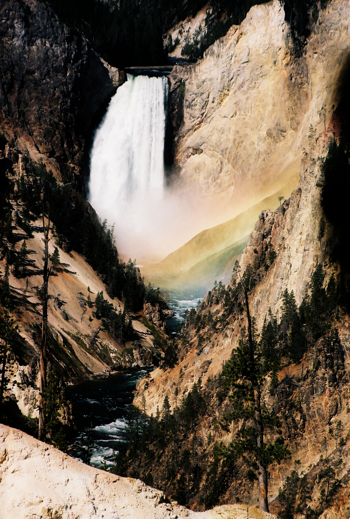
The Best Waterfalls in Wyoming
The Tallest Waterfalls in the United States, Ranked by Height
The Best Roadside Waterfalls You Can See Without Hiking
Notable waterfalls
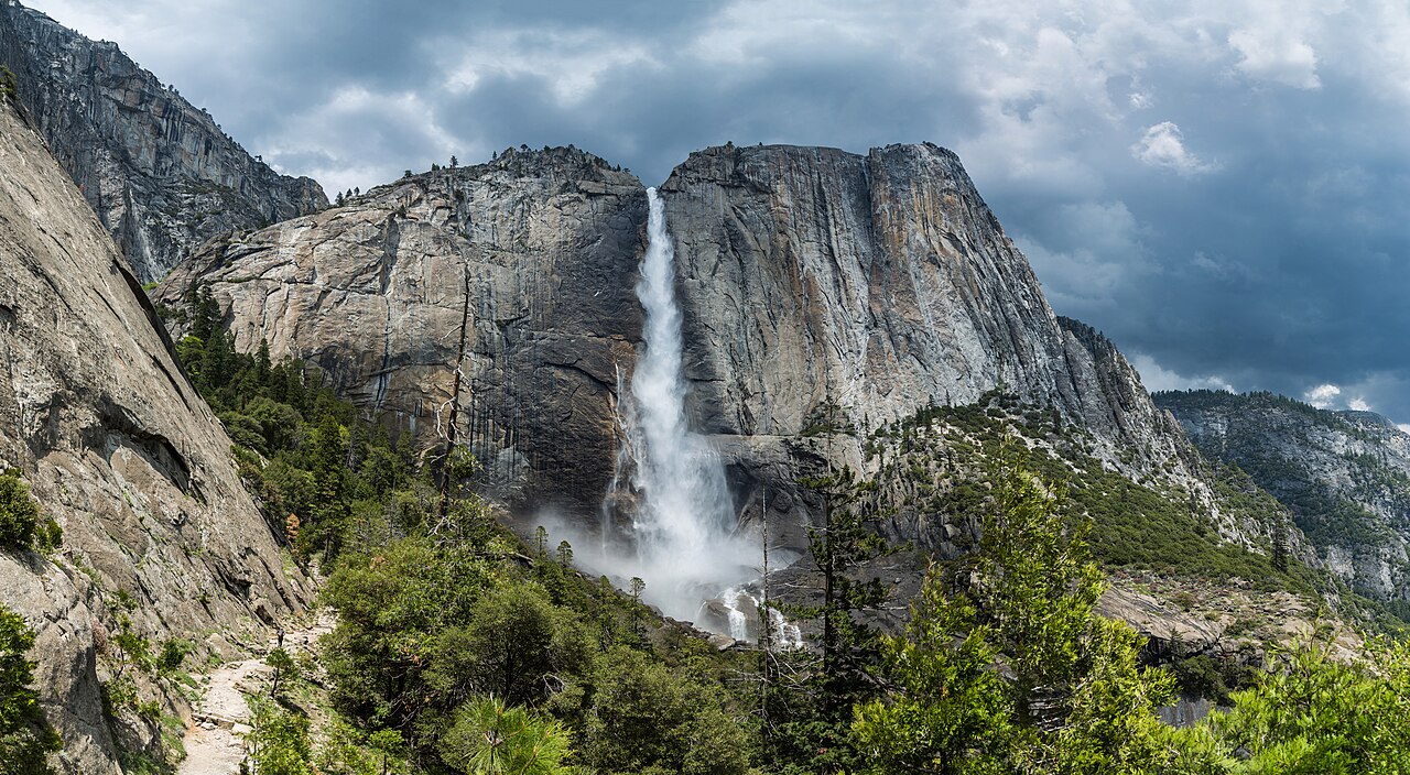
Tallest, ranked →Yosemite Falls
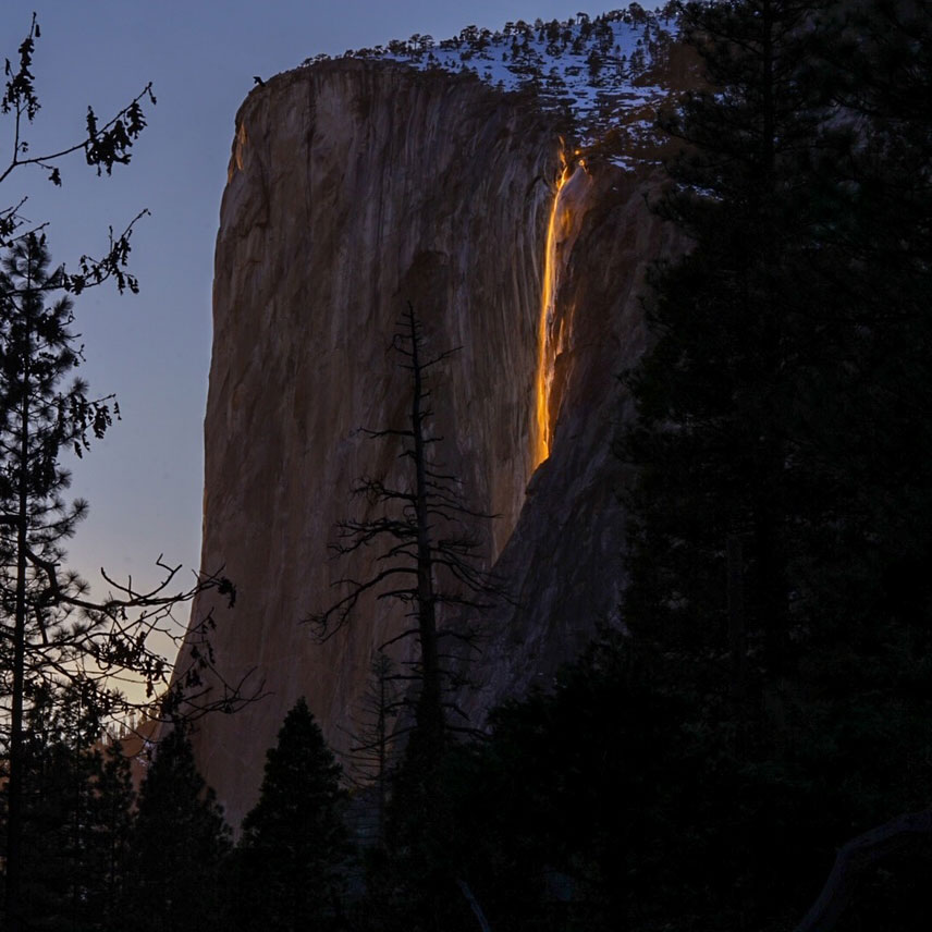
Horsetail Fall
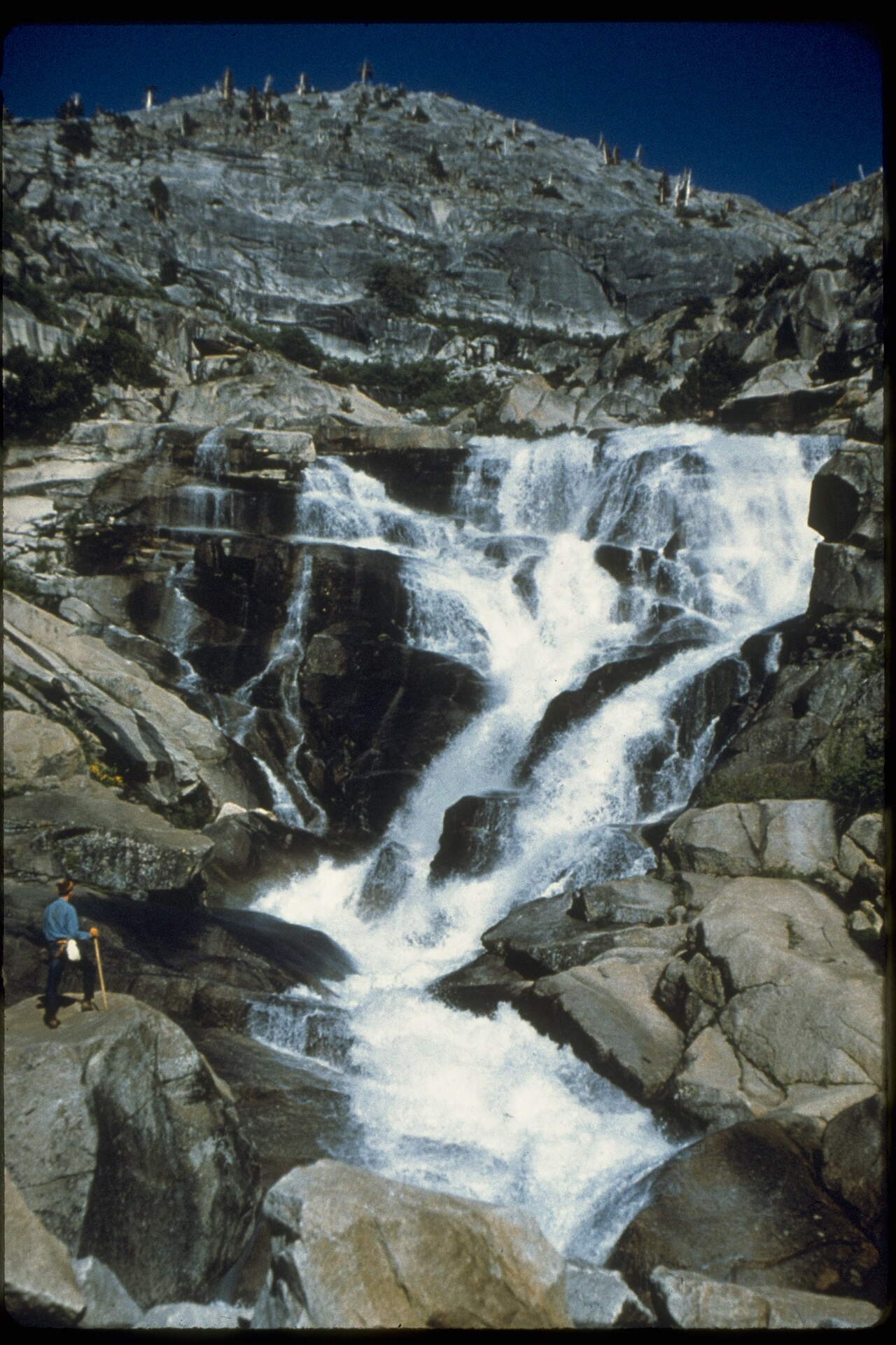
Tokopah Falls
Crabtree Falls
Amicalola Falls
Multnomah Falls
Bridalveil Fall
Bridal Veil Falls
Browse
By state
Frequently asked
Frequently Asked Questions
Each waterfall starts from the USGS Geographic Names Information System (GNIS) — the official register of U.S. place names and coordinates — and is paired with documented height, watercourse, managing agency, and access from National Park Service, U.S. Forest Service, and state-park records. Every page links back to its sources.
Most waterfalls run highest after spring snowmelt or heavy rain and can drop to a trickle by late summer. Each waterfall page lists a documented best-season window; for current conditions, check the USGS streamflow gage on the feeding stream and the land manager’s page.
Many are on public land managed by the National Park Service, U.S. Forest Service, or state parks; some require a park entrance fee or, in a few cases, a permit. Each page notes the managing agency so you can check current fees and rules before you go.
Heights vary because sources measure different things — a single vertical drop versus a full cumulative cascade — and because remote falls are hard to survey. ChasingFalls uses the best-documented figure and notes uncertainty where it exists.
Waterfall names and coordinates come from the USGS Geographic Names Information System (GNIS); heights, access, and seasonal notes are compiled from NPS, USFS, and state-park records and USGS streamflow data. Photos are public-domain or Creative-Commons, credited on each page. Reported heights vary by source and measurement method — see our methodology.